Day 56 - Day 67 of Reed's AT Adventure

In this installment, Reed takes us through Shenandoah National Park and on to Harper's Ferry and the halfway point of the trail on the Virginia Maryland border. Currently Reed is on a ten day hiatus at a family reunion but will return to the Trail in the beginning of July. Below are 3 short movies of Reed's celebration of reaching the halfway point on the trail. As tradition states, you must eat a half gallon of icecream at the Pine
Grove Furnace State Park General Store Rhythm and Reed chose mint choc. chip and moose tracks ice cream and agreed to switch half-way through for the sake of variety.  You'll have to watch to see if we were able to do it.
Video 1
Video 2
Video 3
 

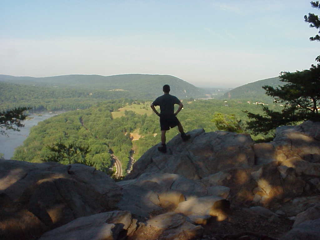
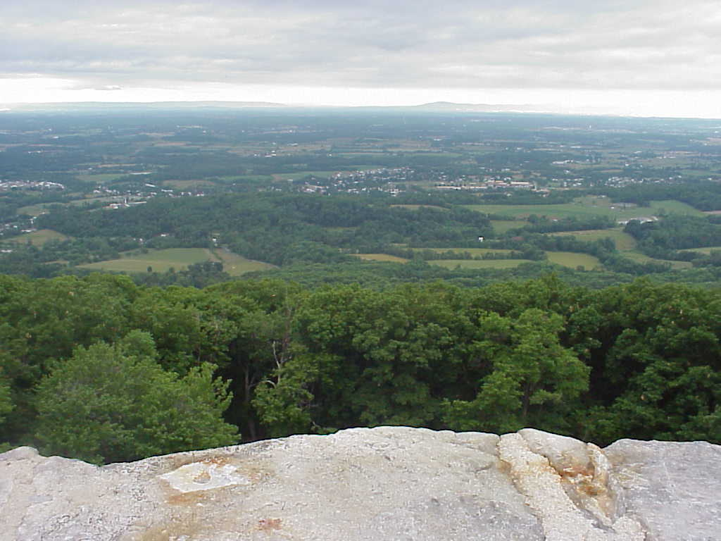
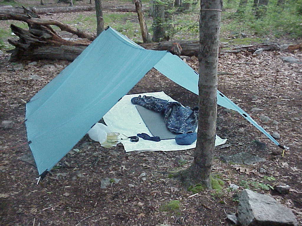
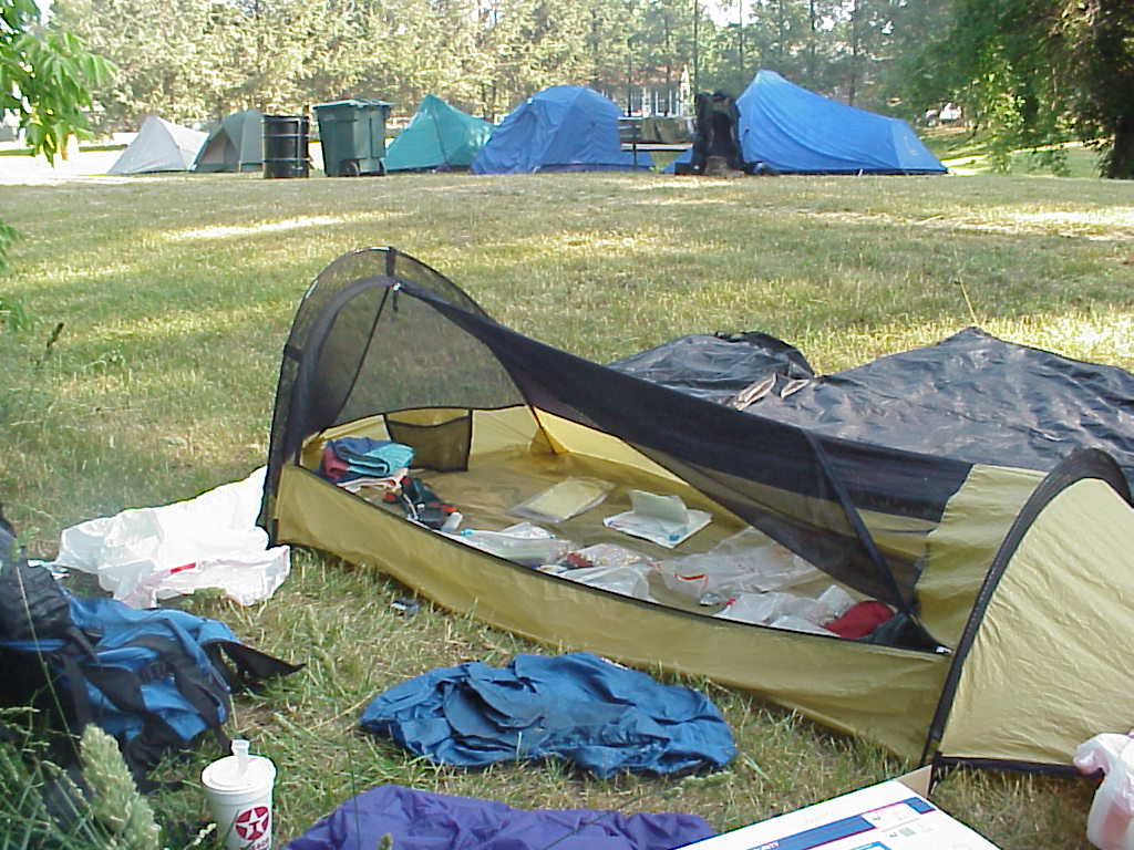
Waynesboro, VA, is a town-stop for almost every thru-hiker, since it is the last town before the Shenandoah National Park.  Unlike many other towns, however, Waynesboro doesn't have a campground or a low-cost hostel.  I was very impressed to find that the local YMCA maintained a lawn exclusively for hikers to pitch their tents, free of charge.  We also were welcomed to shower in the YMCA and use their facilities for free.  This picture is of my bivy shelter as I organize my things on June 9.  Note the other tents in the background. (6/9/99 8:20AM)

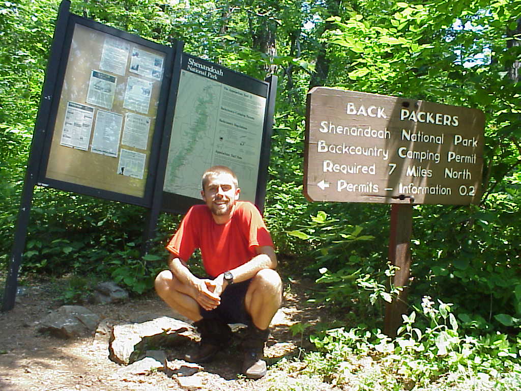
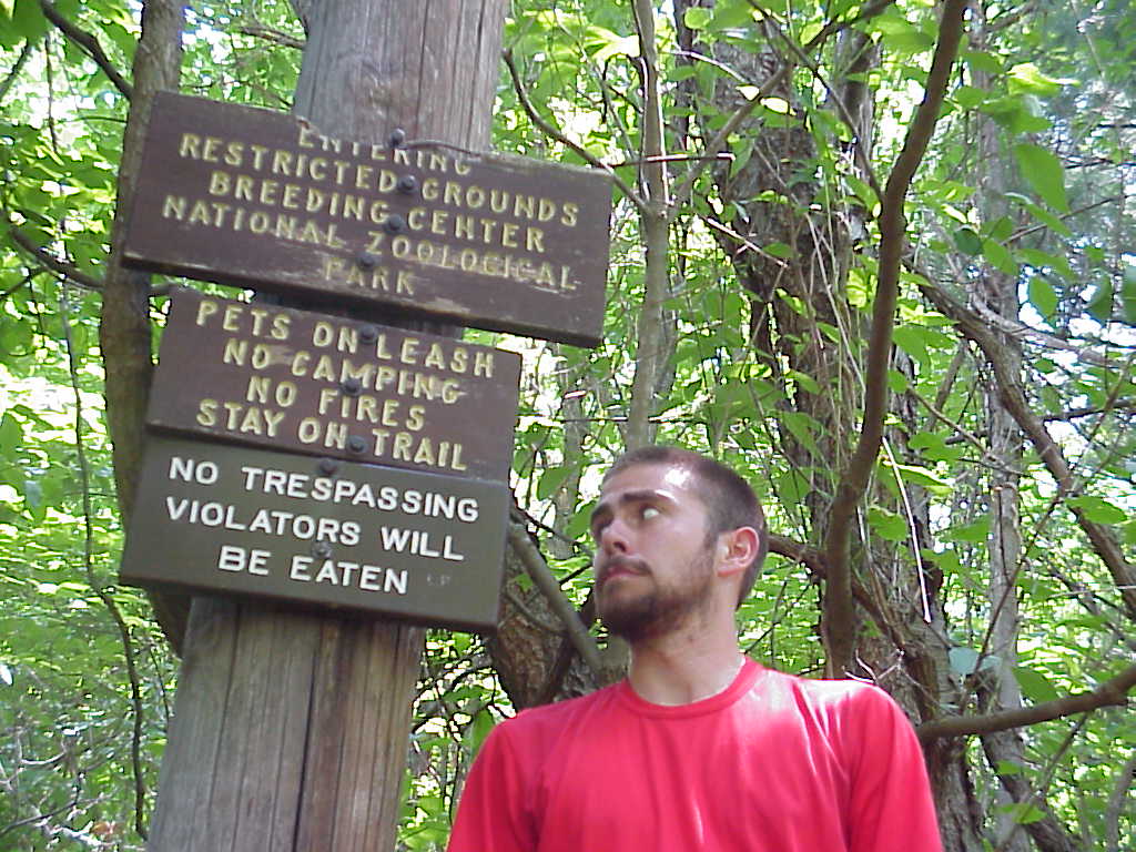
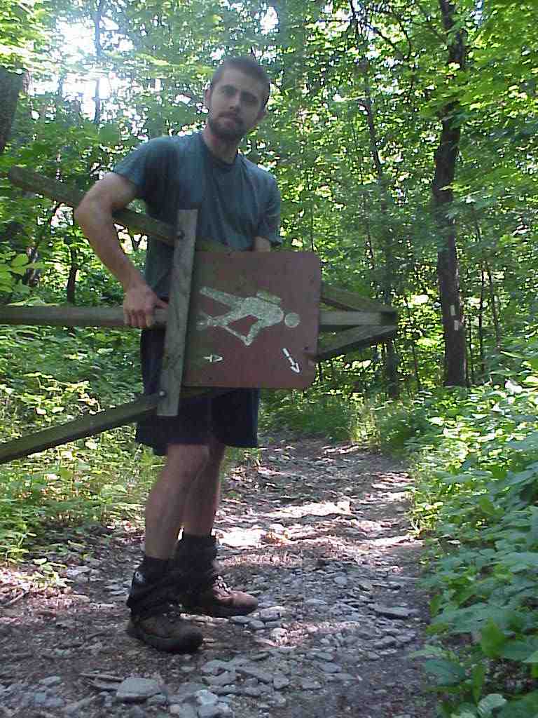
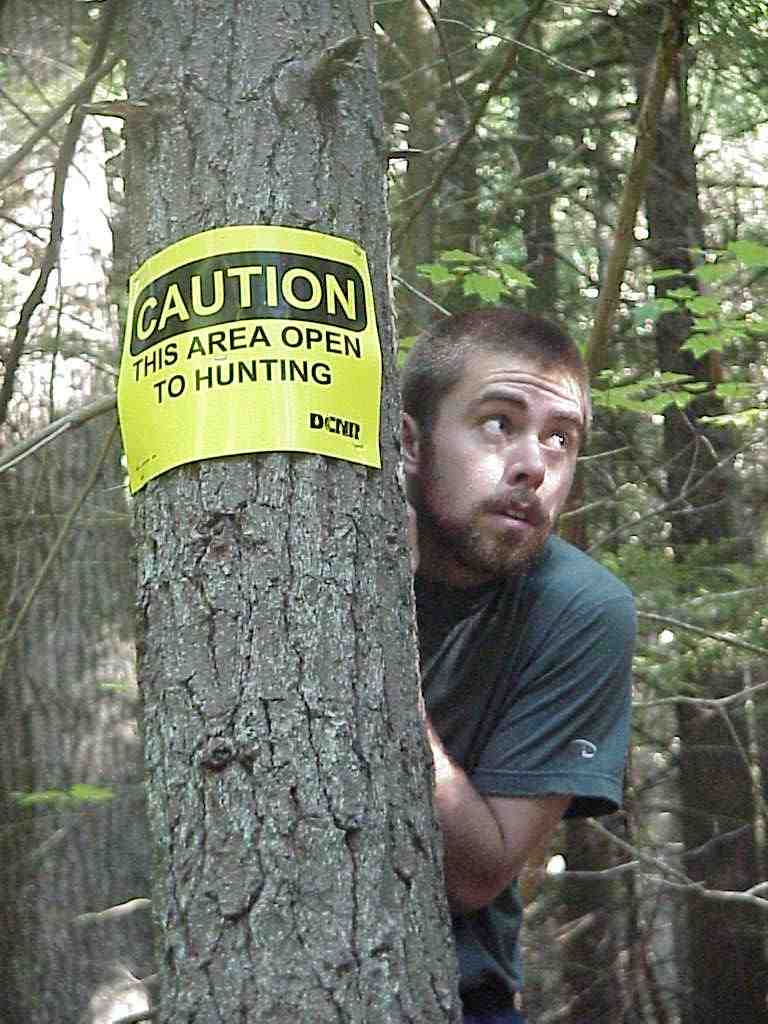
A few miles before the trail enters the Shenandoahs, Back Packers are directed by the sign of the right to pick up permits at a nearby Ranger Station.
(6/9/99 2:36PM)

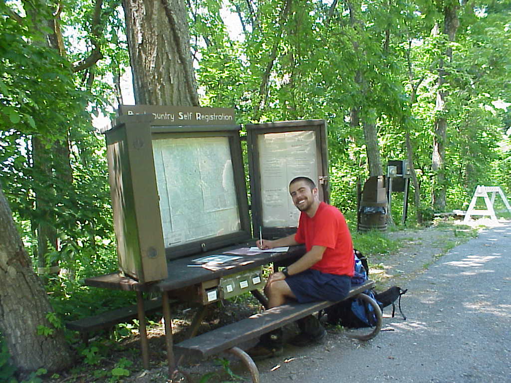
Here, I fill out my permit to enter the Shenandoah National Park.  A
park ranger took this photo. (6/9/99 2:48)

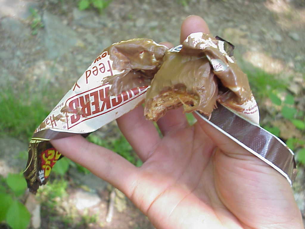
My first day in the Shenandoahs was extremely warm (temps in the 90's) and this Snicker's Bar suffered even more than I did.(6/9/99 3:36)


Usually, realizing that you've taken a wrong turn is a subtle art.  In this case, the Potomac Appalachian Trail Club made it very clear. (6/9/99 3:46)

Old tractor seats on the summit of Bear Den Mountain made for an excellent resting place and provided quite a view to the west. (6/9/99 4:38)

The trail officially enters the Shenandoah National Park at this sign, reminding hikers that the Potomac Appalachian Trail Club (PATC) maintains the AT through the park.  From this point, the PATC oversees the next 240 miles.  This club, founded in 1927, is one of the largest hiking clubs in America.  I was tremendously impressed with the condition of the trail throughout the PATC section; it was obvious that the trial volunteers take great pride in maintaining their sections. (6/10/99 6:40AM)

About a month before I reached the Shenandoahs, a fire burned about 3 1/2 miles of the trail.  The fire started when wind rekindled sparks from an intentionally burned area.  The fire eventually spread over 3,000 acres and took a team of 500 fire fighters and volunteers several days to extinguish.  The black-charred trees and burnt-orange leaves and pine needles gave the area a strange beauty, suggestive of Halloween or, dare I say, Princeton. (6/10/99 9:07AM)


Blackrock is an impressively huge pile of boulders that afforded me a great view of the southern end of the park. (6/10/99 12:10PM)

The trail near Lewis Mountain Campground passed through a beautiful grove of ferns. (6/10/99 2:14PM)

On the morning of June 12, Buckeye, Rhythm, and I awoke at 5:30 AM and hiked 8 miles in about 2 1/2 hours in order to get breakfast at Big Meadows Lodge.  We each ordered two meals and thoroughly enjoyed the fine food of the National Park Service.
(6/12/99 9:14AM)


Near the Big Meadows Lodge in the Shenandoah National Park, I happened by a "Birds of Prey" presentation and stopped in long enough to learn a bit about the Barred Owl.(6/12/99 10:21AM)

Family friends Dennis Fruitt and Brian Foss, who have a place near
Thornton Gap in the Shenandoahs, invited me to take a night off the
trail.  They cooked me a fantastic dinner and I spent the following day
relaxing before returning to the trail in late afternoon.(6/13/99 3:38PM)

I spotted a number of cottontail bunnies around Pass Mountain Hut,
where I spent the night of June 13. (6/13/99 6:17PM)

I spotted a number of cottontail bunnies around Pass Mountain Hut,
where I spent the night of June 13.
(6/14/99 6:29AM)


Because they are protected within the park and since there are such a high number of human visitors, deer are virtually unafraid of people within the Shenandoahs.  This one was only a few feet off the trail and continued eating even as I walked by in.  In fact, to get it to look up from eating, I had to bang my hiking poles together and yell at it.  My friend Chris Mills would have argued that I should have thrown something at it so that it might be a little more cautious around people, but I didn't go that far.(6/14/99 11:07AM)

(6/14/99 11:09AM)

(6/14/99 11:09AM)

In the park, the trail crosses Skyline Drive 23 times, often at scenic overlooks.  Here I take in the view  ear the roadside at Rattlesnake Point Overlook.(6/14/99 11:30AM)


After leaving Shenandoah National Park, the trail passes by the National Zoo compound, which is home for many rare and endangered animals.  The bottom sign was enough to keep me from straying too far from the path.(6/15/99 1:18PM)

Changing Pace brought a special treat for all of the hikers who stayed at Manassas Gap Shelter on the night of June 15.  He lugged up a 3-litre box of wine (that's it strapped to the top of his pack) from Waynesboro, VA.  It certainly helped us enjoy a more civilized dinner than usual on the trail.(6/15/99 2:03PM)

In a muddy pond next to the trail I spotted my first "exciting" snake, a copperhead (it's just visible on the left side of the picture).  I stopped for about 45 minutes and watched as it hunted frogs.  I snapped this picture right before it lunged at the frog on the right side of this picture.  I fear that the snake was suffering from a bit of performance anxiety, however, since I only saw it catch one small critter (not sure what it was) in the time I watched.   Copperheads and Rattlesnakes are the only poisonous snakes on the trail, and I was thrilled to finally see one.(6/15/99 5:16PM)

I came across this Warning" before entering "The Roller Coaster", a section of the trail that has seventeen small  scents totally about 5,000 feet of elevation.  It wasn't bad compared to the stuff we had to climb over in the southern sections of the trail.(6/16/99 2:05PM)


Found a cool tree to climb on.(6/16/99 3:54PM)

(6/16/99 3:55PM)

Found a perfect place to spend a rainy night the evening of June 17. The Blackburn AT Center maintains a free hiker hostel right on the trail.  Loren (aka Rhythm) and I hung our clothes from the rafters of the small bunkhouse, started a fire in the stove, and organized our stuff by candlelight.(6/17/99 5:05PM)

Here, Rhythm, Bob, and Courtney clean up in the main building of the
Blackburn AT Center.  Bob and Courtney, who thru-hiked in 1998, serve as the caretakers of the center.  They invited us to join in a delicious dinner of eggplant, pasta, salad, and red wine.  Great night. (6/17/99 7:11PM)


Harper's Ferry, WV, the home of the Appalachain Trail headquarters and "spritual half-way point" of the trail.  At the AT headquarters I had my picture taken for the thru-hiker log.  I was the 326th northbound thru-hiker to pass through this year.(6/18/99 11:02AM)

The trail in Harper's Ferry winds through some incredibly historic
parts of the town, including down this winding, stone staircase. (6/18/99 5:18PM)

On June 18, I finally crossed out of Virginia, walked across West Virginia (okay, so the trail is only  about 3-miles long through the state!), and entered Maryland.  Unfortunately, neither the WV or MD borders had huge, photographic signs to help me announce this accomplishment.  This, however, is just across the Maryland state line. (6/18/99 11:28AM)

My second morning in Maryland I came across Weverton Cliffs.  This is the view up the Potomac river, which can be seen on the right side of the picture.  Harper's Ferry rests in the distant valley visible in the right of the picture.(6/19/99 7:49AM)


I found this great portable AT sign along the trail.  Figured if I just carried it with me, anywhere I went, I'd be on the trail.  Seems like it would be worth the weight. (6/19/99 9:55AM)

Gathland State Park had an impressive monument to civil war correspondents.  Built in 1896, the design was inspired by the
Hagerstown railroad depot and fire station. (6/19/99 11:15AM)

(6/19/99 11:29AM)

Washington Monument State Park is home to the first structure built in honor of our first president.  This is the view westward from the top of the monument. (6/20/99 8:12AM)


Here I am atop the Washington Monument, build in 1827 by the citizens of Boonsboro, MD, and restored in the 1930's.(6/20/99 8:18AM)

This sign (slightly inaccurate, but fun anyway) greeted us at Pen Mar County Park, on the Maryland side of the MD/PA state line.(6/21/99 8:57AM)

The Mason-Dixon line, which also serves as the state line between Maryland and Pennsylvania, was crossed on the morning of June 21. Finally, I hit state number 7 and was nearing familar territory!(6/21/99 9:07AM)

Alright, these signs scared me!(6/22/99 9:06AM)


Many of the shelters in southern Pennsylvania are "doubles."  The Quary
Gap Shelters were a particularly impressive example of this, with a
covered pavilion in between the two sleeping areas.  I stopped to sign
the register and ended up taking a half-hour nap on the picnic table.(6/22/99 10:10AM)

This is the largest anthill I've ever seen!  It had to be at least 6 feet in diameter.  A moment after this photo was taken, a hundred ants tried to swarm up my left foot.  I admit, I totally freaked out, but managed to escape without any loss of limb.(6/22/99 12:03PM)

On June 23 I decided to give my new tarp a try, even though (or probably because) it was going to be a beautifully clear night.  Note that my groundcloth is a piece of Tyvek, which is very lightweight, and that my sleeping bag has been replaced by a fleece blanket.(6/23/99 6:27AM)


Half-way, at last!  On June 23, Rhythm and I hit the "offical" half-way
marker of the AT, which was erected by a former through hiker in 1987
to celebrate the 50th anniversary of the AT.  Actually, this marker,
which is located just north of Pine Grove Furnace State Park in PA,
would have to constantly be moved to be accurate, since the length of
the AT is constantly changing due to relocations.  But, it was good
enough for us! (6/23/99 12:21AM)

(6/23/99 12:22AM)